


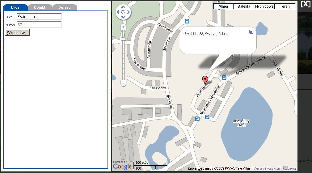
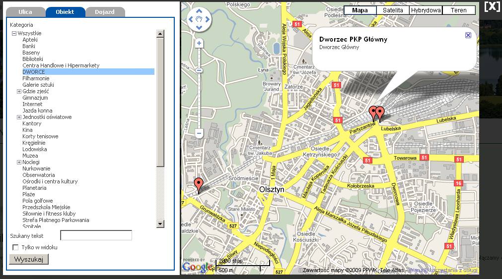
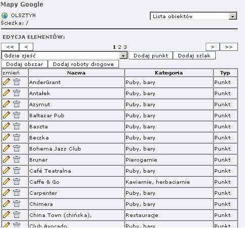
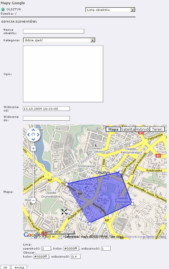
For the city hall's website, we developed a Typo3 extension using Google Maps. It allows users to search for streets, show driving and walking routes, and includes a database of all major points of interest in the city (pharmacies, cinemas, train/bus stations, restaurants...) with search functionality and category division.
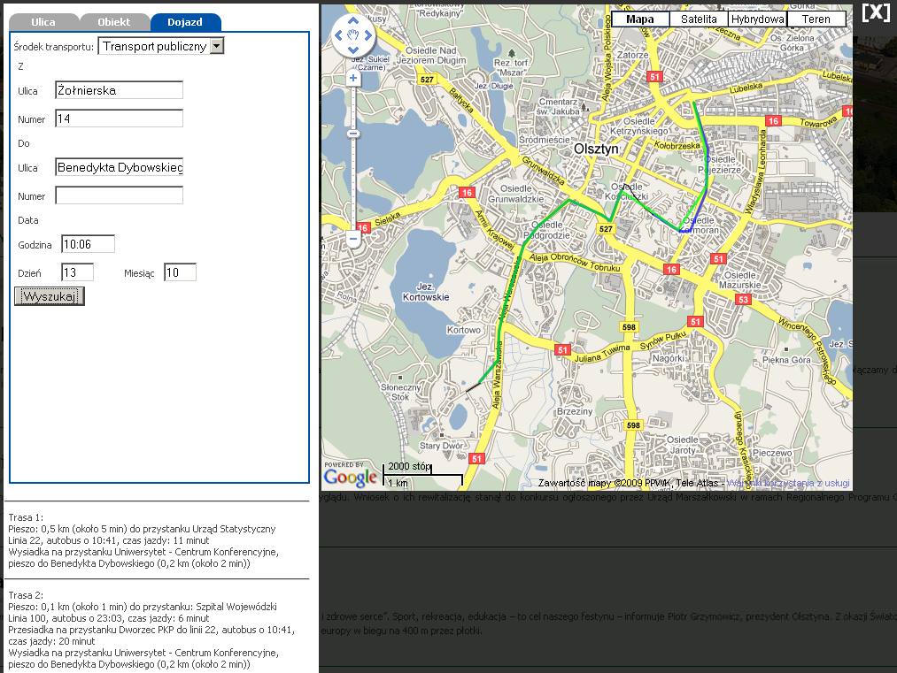
The biggest challenge was adding public transport connection search. Google's service allows searching for such information, but does not make it available to external applications, so we had to create our own solution based on stop locations and a list of connections exported from the system used by the public transport authority. Our algorithm works similarly to Google's solution: it finds the walking route to the nearest stops and then finds the most convenient connections.
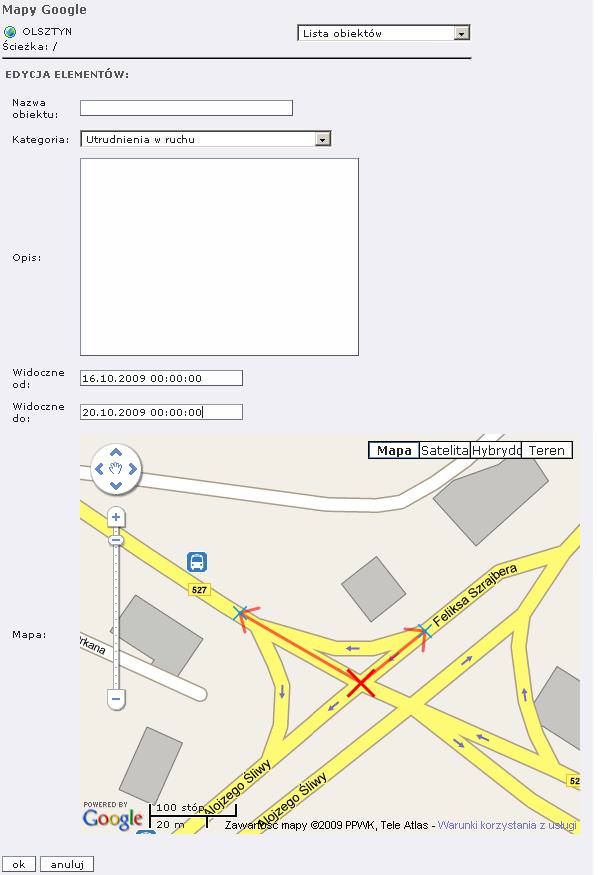
In the list of points of interest, we also added a system allowing road works to be displayed, indicating in which directions there are traffic disruptions (for example, only one lane blocked, or two arms of an intersection closed).
The map displays over the page content without a reload, making it possible to quickly locate on the map the address of a specific event described on the site, without needing to leave the article. We also added the ability to include links within articles to selected maps containing information relating solely to the chosen event.
Please fill in the required fields.
Message sent.